David Staveley
New Member
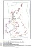
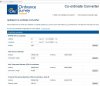
I've been using the OSGB36 projection plus OSTN02/OSGM02/Newlyn datum in the UK, but I've just found they have released OSTN15/OSGM15 as per this link : (https://www.ordnancesurvey.co.uk/blog/2016/09/ostn15-new-geoid-britain/). I couldn't see it in the options on my LS. Is it buried in there somewhere, or not implemented yet?